36 More Hours Before Our Sunny Weather Goes Away...
WEATHER VIDEOS FOR YOU:
The ZV WEATHER FORECASTERS track the latest weather alerts in both Metro Detroit and all of Southeastern Michigan. Get the most updated information here: https://my.secure.website/metrodetroitweather/
TODAY: Sunny skies with a few passing clouds, at times, on this Thursday afternoon along with both daytime high temperatures reaching the middle-to-upper 80s and warming winds SW 5-10 mph.
Sunset tonight is at 9:06 p.m. EST.
TONIGHT: Partly cloudy skies and cool too as overnight low temperatures will dip down into the middle-to-upper 50s across Metro Detroit.
Sunrise tomorrow on your "Finally Friday" is at 5:58 a.m. EST.
TOMORROW: Partly to mostly cloudy skies on your "Finally Friday" along with both daytime high temperatures in the upper 80s to near 90F and warming SW winds 5-15 mph, gusting 20-25 mph, at times too! The rain should hold off until way after dinnertime, and by that I mean around 11pm/Midnight tomorrow night.
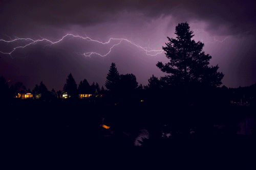
THIS WEEKEND: Showers and thunderstorms are expected on your Saturday with daytime high temperatures in the middle-to-upper 80s. Sunday should be partly cloudy with daytime high temperatures in the low 80s.
Have a blessed rest of your Thursday, Metro Detroit!!